/topics/surface-water
Surface Water
School of Agriculture IGNOU, invites applications for Diploma in Watershed Management (DWM)
Posted on 05 Nov, 2011 07:19 AM
School of Agriculture (SoA) was established in 2005 with a mission to improve & sustain productivity & quality of human life in rural areas through Open & Distance Learning (ODL) system in agriculture & allied sectors. The school has already launched four Post Graduate, eleven Vocational & two Awareness Programmes successfully & is in the process of designing a number of new programmes of regional & national importance
Advancing development - Towards sustainable livelihoods - Madurai Symposium - DHAN Foundation - September 14-18 ( 2011)
Posted on 04 Nov, 2011 08:47 AMThe Madurai Symposium organised by the
Environmental monitoring programme on water quality in Kerala – A report by KSCSTE and CWRDM
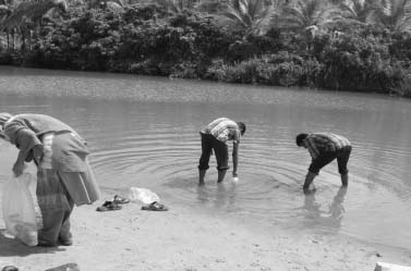
Posted on 03 Nov, 2011 08:54 PM This report by the Kerala State Council for Science, Technology and Environment (KSCSTE) and Centre for Water Resources Development and Management (CWRDM) on water quality monitoring in Kerala covers all its forty four river basins. This is being done under the “Environmental Monitoring Programme on Water Quality” under which samples are being collected both from surface and groundwater sources.
Groundwater sampling stations were fixed after conducting a sanitary survey in the panchayats. Water Quality Information System is being developed using Geographical Information Systems (GIS) to manage the water quality from point or non-point source of pollution.
In the first phase of the project, three river basins of Kerala viz. Kabbini, Periyar and Neyyar were monitored. The network was later expanded to basins such as Chaliyar, Kadalundi, Meenachil, Karamana, Anjarakandi, Pamba, Muvattupuzha, Bharatapuzha, and Chalakudy.
Water data at your fingertips !
Posted on 02 Nov, 2011 11:21 AMThe Data Finder aims to bring together all water data from all over the web and put them in one convenient searchable tool so you can use it for any projects you are working on.
Climate change impact assessment of water resources of India - A paper from Current Science
Posted on 02 Nov, 2011 10:52 AMThis paper published in the journal Current Science presents the findings of a study has been taken up to quantify the possible impacts of the climate change on the water resources of Indian river systems within the constraints of the uncertainty of climate change predictions. The study uses the PRECIS daily weather data to determine the spatio-temporal water availability in the river systems.
A distributed hydrological model, namely SWAT has been used to simulate all the river basins of the country. The analysis has been performed to evaluate the severity of droughts and floods and thus identify the vulnerable hotspots that may require attention in view of the climate change in various parts of the country.
Impacts of climate change and climate variability on the water resources are likely to affect irrigated agriculture, installed power capacity, environmental flows in the dry season and higher flows during the wet season, thereby causing severe droughts and floods in urban and rural areas. Climate change impacts on water resources which are addressed and analysed in the present study include impacts on annual and inter-annual water availability as well as extreme events of droughts and floods.
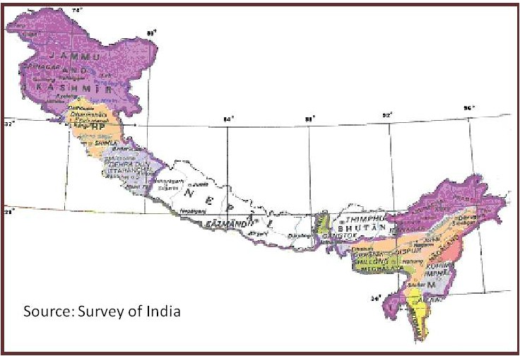
Problems of hill states and hill areas and ways to ensure that they do not suffer in any way because of their peculiarities - Report of the Task Force - Planning Commission
Posted on 01 Nov, 2011 09:37 PMThis report by the Task Force, constituted by the Planning Commission, Government of India in April, 2008, is an outcome of the need expressed by the Prime Minister of India for a fresh analysis of the problems of the hill states and hill areas of the country in a manner that suggests that these areas do not suffer in any way on account of their peculiarities.
Opinions have been expressed that the pace of development of the Indian Himalayan Region (IHR) has been slow when compared to the rest of the country. At the same time, its fragile nature and difficulty of taking up conventional development initiatives has not been appreciated. In this report, arguments have been presented recommending reshaping of policies to bring in the “mountain perspective” for the IHR, in the national planning. Emphasis has also been laid on developing norms for good governance and for harnessing social capital at the grassroots.

Lakes in Mumbai – A draft report by WWF India
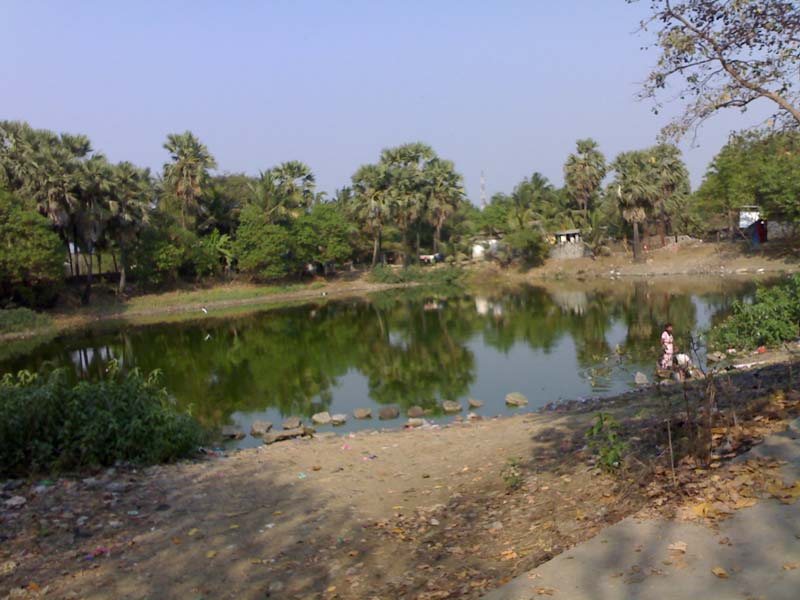
Posted on 01 Nov, 2011 08:59 PM This draft report on the study of lakes by the World Wildlife Fund for Nature (India) documents the physical condition of the lakes in Mumbai. Apart from the three lakes - Tulsi, Powai and Vihar that used to provide water to Mumbai residents, there are many lakes in the Bombay Municipal Corporation jurisdiction that are either polluted by human sewage or industrial effluents and have remained neglected with increasing urbanization.
There is very little to no data available on the existence of lakes of Mumbai. Several RTI’s to the government bodies also revealed that there was a lacuna in terms of the availability of the data; as a result most of the water bodies are easily exploited. Under this study the baseline data was prepared with the help of Google Earth website. The areas appearing to be lakes were marked on the Google Earth Images. These were verified by the field staff through onsite visits. The survey was conducted during September and October, 2008 and March, 2009. The study considers only the fresh water lakes which were accessible and saline water impoundments have not been considered.
Himalayan glaciers: A state-of-art review of glacial studies, glacial retreat and climate change – A MoEF discussion paper
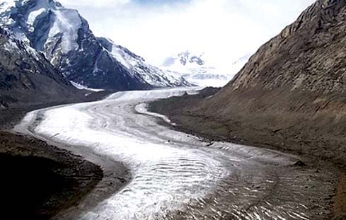
Posted on 30 Oct, 2011 09:02 PM The MoEF discussion paper on Himalayan glaciers studies the phenomenon of glaciations and glacier dynamics, a phenomenon that has attained significant attention in recent years, on account of the general belief that global warming and climate change is leading to fast degeneration of glaciers in the Himalayas. It is argued that this would, in the long run, have an adverse effect on the environment, climate and the water.
Alternative national water policy - A critique - Economic and Political Weekly
Posted on 30 Oct, 2011 04:04 PMThis article published in the discussion section of the Economic and Political Weekly is a critique of the National Water Policy: An alternative draft for consideration, proposed by Ramaswamy Iyer, published in the Economic and Political Weekly, June 25th 2011.
Fisheries and livelihoods in Tungabhadra basin: Current status and future possibilities – A working paper by Institute for Social and Economic Change
Posted on 30 Oct, 2011 01:02 PMThis study by Institute for Social and Economic Change (ISEC) aims at understanding the livelihood patterns of fishermen within the Tungabhadra sub basin, a tributary of river Krishna located in peninsular India. Lack of integrated approach in development initiatives and water management plans warrants the need for Integrated Water Resource Management to support livelihoods. The study focuses on fisheries as a source of livelihood, current status and institutional support available, people dependant on it, development initiatives and suggestions for improvements.


