/topics/surface-water
Surface Water
Land, water and local people - A case study of the Bangalore Mysore Infrastructure Corridor - A Masters' dissertation - Tata Institute of Social Sciences
Posted on 15 Jun, 2012 07:28 PM This thesis/report presents the findings of a study that was conducted for the fulfillment of the Masters degree at the School of Habitat Studies, Tata Institute of Social Sciences.
Sarakki lake in Bangalore is almost dead and needs quick action to be revived
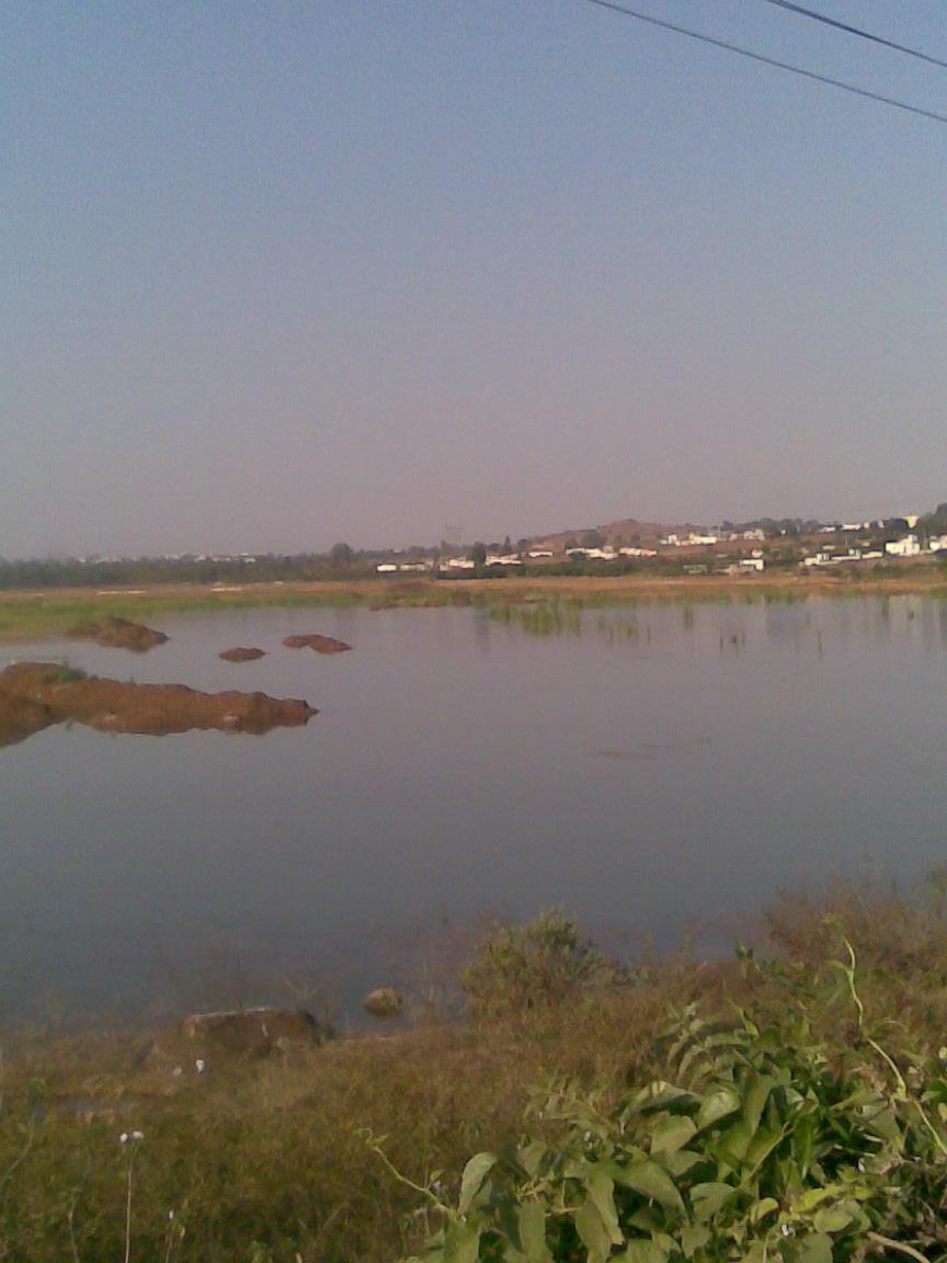
Posted on 07 Jun, 2012 04:39 PMSarakki Lake, also known as Jagaranahalli Lake located in South Bangalore is one of the oldest lakes in Bangalore, and once upon a time one of the most glorious. It has now become a reservoir for untreated sewage and a dumping yard for the surrounding neighbourhoods. This lake was a source of water for four villages up until just a few years ago.
Himmothan Pariyojana's drinking water and sanitation (WATSAN) interventions in Uttarakhand
Posted on 05 Jun, 2012 10:32 PMIn 2001, the Himmothan Pariyojana (HMP) programme was initiated to work on rural development issues in collaboration with the Government of Uttarakhand, as formalised by a 10-year MoU between the two in 2004.
Two talukas, Jat & Atpadi, in Sangli district of Maharashtra face worst drought despite river Krishna flowing just 100 kms away
Posted on 05 Jun, 2012 02:09 PM
Bihar floods - Causes and preventive measures
Posted on 01 Jun, 2012 12:21 PMBihar is surrounded by Nepal in the north, West Bengal in the east, Uttar Pradesh in the west and Jharkhand towards the south. There are several rivers that run through the state: Ganga, Sone, Punpun, Falgu, Karmanasa, Durgavati, Kosi, Gandak and the Ghaghara, to name a few. Nearly 85% of the state’s land is under cultivation.
Water quality index of surface water bodies of Gujarat, India - Paper published in the Asian Journal of Experimental Sciences
Posted on 25 May, 2012 10:51 PMThis paper from the journal Asian Journal of Experimental Sciences presents the findings of a study that attempted to assess the physicochemical parameters of surface water in Gujarat state to explore the suitability of water
Workshop on environmental flows, Himmotthan Society and International Rivers, June 8, 2012, Dehradun
Posted on 23 May, 2012 04:12 PMOrganisers: Himmotthan Society and International Rivers
Venue: Hotel Madhuban,
Rajpur Road,
Dehradun

![]()
"The Himmotthan Society works in the field of rural development in the Central Himalayan regions of Northern India. The various programmes of the Society reach approximately 900 villages across the northern states of Uttarakhand and Himachal Pradesh, directly involving over 50,000 families.
Since 1985, International Rivers has been at the heart of the global struggle to protect rivers and the rights of communities that depend on them. We work with an international network of dam-affected people, grassroots organizations, environmentalists, human rights advocates and others who are committed to stopping destructive river projects and promoting better options.
Water quality of the Bhagirathi, Ganga in the Himalayan region: A study by NEERI
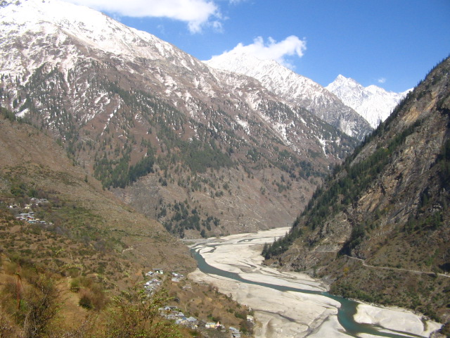
Posted on 19 May, 2012 05:00 PM The Bhagirathi in its upper reaches, here seen near Dharali (Photo: Chicu Lokgariwar)
Integrated hydrological data book (non-classified river basins) by Central Water Commission, Ministry of Water Resources
Posted on 15 May, 2012 08:37 AMThis data book published by Central Water Commission (CWC) is a compendium of impor
Privatisation of urban water supply in Khandwa, Madhya Pradesh - An update from Manthan Adyayan Kendra
Posted on 09 May, 2012 09:53 AMStartling conditionalities


