Term Path Alias
/topics/rainfall-and-other-forms-precipitation
/topics/rainfall-and-other-forms-precipitation


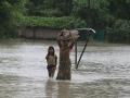
Water Initiatives Odisha, brings out a special note on this issue in response to the latest spell of the flood disaster in northern Odisha Rivers.
Article and image courtesy: IndiaWaterReview

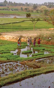
The agriculture sector in India, like elsewhere in the world, remains the largest consumer of water. As much as 80-85 per cent of India's available water resources are deployed annually in the agriculture sector, with industry being the second-most largest water consumer. But, contrary to the amount of efforts being put among industrial consumers to bring down their water consumption, agriculturists remain stuck on age-old methods and systems that lead to wastage of water.
So, while industry has been spending money on conducting in house research and development (R&D) to bring down their overall water consumption for making goods and products as well as deploying technologies that treat and reuse water and wastewater better, the agriculture sector has maintained status quo. Across India, farmers are still using flood irrigation methods for their crops. Most of them have not even head of drip irrigation or are so poor that they cannot afford to invest in drip irrigations systems.
Main hazards that the state is prone to consist of earthquakes, landslides, flash floods, snow storms and avalanches, droughts, dam failures, fires – domestic and wild, accidents – road, rail, air, stampedes, boat capsizing, biological, industrial and hazardous chemicals etc.
This article published in the journal Current Science presents the findings of a study that aimed at developing a rapid inventory on the impact of the recent climatic changes on the ecosystem, flora and fauna of the Himalayan region with a special emphasis on livelihoods.
Assam represents a highly flood-prone region characterized by severe hazards of floods. Although occurrence of flood has been an age-old phenomenon in the riverine areas of this region, the extent of damage caused by floods has increased significantly in recent years.
This document presents the proceedings of the annual review meeting by India Meteorological Department (IMD) on “Forecasting Agricultural Output Using Space, Agrometeorology and Land Based Observations” (FASAL) organized at YASHADA, Pune during 1-2 August 2011.
To what extent farmers and water resource managers already practice adaptive management and whether it is practiced in an optimal manner or could there be areas for improvement based on recent advancements in the theory of adaptive management are some of the questions that are particularly appropriate in the light of rapid changes in river basin water use and also in relation to basin closure.
This paper draws on the development and use of water resources in the Lower Bhavani Project (LBP), with the LBP reservoir and the 84,000 hectare (ha) LBP command area. The project diverts water from the Bhavani River, a tributary of the Cauvery River in Tamil Nadu.
This paper published in Current Science presents the results of the national project on ‘Seasonal Prediction of the Indian Monsoon’ (SPIM), which involved a comparison of the skill of the atmospheric models used in the country for prediction of the summer monsoon, in simulation of the year-to-year variation of the summer monsoon rainfall over the Indian region for 1985–2004.
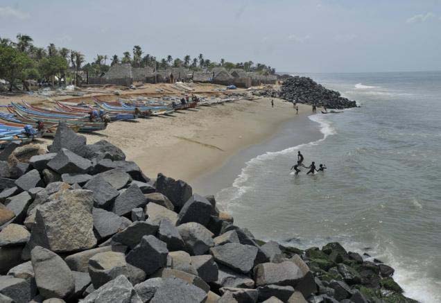 This report by Institute of Financial Management and Research (Madras) and Indian Institute of Technology (Madras) deals with the impact of sea level rise on major infrastructure, ecosystems and land along the Tamil Nadu coast.
The Tamil Nadu coastline is about 1,076 km, with thirteen coastal districts, and it forms a fairly large contiguous and narrow coastal strip dotted with fragile ecological features and rampant development activities. There are major, existing and proposed, economic and infrastructure developments, including ports, power plants, highways and even airports, which are being planned very close to the shoreline along India’s coast.
To provide the background hydrological information for the assessment of environmental flow requirements at four selected ‘Environmental Flow’ sites, a hydrological model was set up to simulate the catchment in the present state (with water regulation infrastructure) and to generate the natural flows (without water regulation infrastructure).