/regions/rivers
Rivers
National Alliance for People s Movements condemns arrest and harassment of anti-dam protesters in Assam
Posted on 28 Dec, 2011 12:10 PMContent courtesy: National Alliance for People's Movements
On the 26 December, 2011, at 2:15 am, Assam Police in collusion with other security forces swooped down on the protesters at Ranganadi who have been blockading the Highway since December 16 and thwarting state’s attempt to carry turbines and dam materials to project site of Lower Subansiri Dam. Nearly 200 people have been arrested and earlier also security forces have been harassing the protestors. In past too, Krishak Mukti Sangram Samiti fighting against the big dams on Brahmaputra have faced government’s ire and often been attacked and jailed. NAPM stands in solidarity with KMSS and other students groups of the region who have been consistently opposed to the big dams in highly sensitive seismic zone. We condemn the sustained action and harassment of KMSS and their activists and targeting of Akhil Gogoi for constantly opposing the destructive development policies and corruption of the government machinery.
The impacts of water infrastructure and climate change on the hydrology of the Upper Ganges river basin – A research report by IWMI
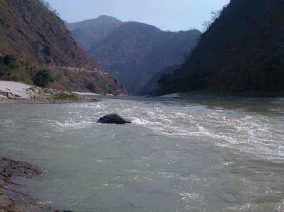
Posted on 18 Dec, 2011 07:03 PM The Ganges river system originates in the Central Himalayas, and extends into the alluvial Gangetic Plains and drains into the Indian Ocean at the Bay of Bengal. In the upstream mountainous regions, hydropower is the main focus of development with mega and micro projects either under construction or being planned in both Nepal and India.
After the main river channel reaches the plains, it is highly regulated with dams, barrages and associated irrigation canals. All this infrastructure development and abstractions affects the river’s flow regime and reduces flows, which, in turn, impacts downstream water availability, water quality and riverine ecosystems. Furthermore, there are concerns that climate change is likely to exacerbate the water scarcity problem in the Ganges Basin. Therefore, modeling the hydrology of the basin is critical for estimation, planning and management of current and future water resources.
Yamuna-Elbe - A public art and outreach project at the Yamuna riverscape in Delhi launched on 5 November, 2011
Posted on 18 Dec, 2011 02:02 PMGuest post by: Amita Bhaduri
The public art outreach project was organized by the Max Mueller Bhavan in association with the Government of Delhi and the Goethe-Institut (Hamburg, Germany) as a part of the “Year of Germany in India” programme opened on 5th of November, 2011. The art exhibition which continued till the 19th of November co-curated by artist Ravi Agarwal who is also a practicing environmentalist (Director, Toxics Link) along with German artist, Till Krauser attempted to create a pulsating synergy between the Yamuna and Elbe rivers.
 Gigi Scaria’s - The fountain of purification
Photo courtesy: Rocky Thongam
This is a 24 ft installation representing a four storey apartment complex that draws Yamuna water, purifies it at various levels and dispenses it from the top in the form of a fountain.
Qualitative and quantitative water scarcity issues in Bihar - A presentation
Posted on 21 Nov, 2011 11:49 AMThis presentation highlights the grave water situation in Bihar in the context of the emerging water quality and quantity issues that the world and especially developing countries will be facing in the near future.
Living rivers, dying rivers: Rivers in North East India
Posted on 15 Nov, 2011 03:29 PMRivers in North-East India

Workshop on rainwater harvesting in Meerut’ - Janhit Foundation's e-newsletter of March 2011
Posted on 11 Nov, 2011 09:29 PMContent courtesy: Janhit Foundation
Interstate river water disputes (IRWD) act (1956) and its legal provisions
Posted on 09 Nov, 2011 10:01 PMThis paper elaborates the techno – legal aspects of Interstate river water disputes act – 1956 which was enacted to resolve the water disputes among the basin states of an interstate river / river valley. This Act’s main purpose is to protect the interests of a downstream state when water resources available in an upstream state are put to additional use.
Interstate River Water Disputes Act – 1956 (IRWD Act) was first enacted on 28th August, 1956 by Indian parliament on the eve of reorganization of states on linguistic basis to resolve the water disputes that would arise in the use, control and distribution of an interstate river or river valley. This Act further has undergone amendments subsequently and its recent amendment took place in 2002. It also validates the previous agreements (if any) among the basin states to harness water of an interstate river/ river valley.
Assam’s strategy and action plan on climate change - Recommendations - First draft - ASTEC (2011)
Posted on 07 Nov, 2011 11:20 AMThis report by the Assam Science Technology & Environment Council (ASTEC) contains the compiled recommendation of three consultative workshops organized in Assam University, Gauhati University and
Environmental monitoring programme on water quality in Kerala – A report by KSCSTE and CWRDM
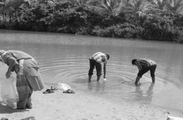
Posted on 03 Nov, 2011 08:54 PM This report by the Kerala State Council for Science, Technology and Environment (KSCSTE) and Centre for Water Resources Development and Management (CWRDM) on water quality monitoring in Kerala covers all its forty four river basins. This is being done under the “Environmental Monitoring Programme on Water Quality” under which samples are being collected both from surface and groundwater sources.
Groundwater sampling stations were fixed after conducting a sanitary survey in the panchayats. Water Quality Information System is being developed using Geographical Information Systems (GIS) to manage the water quality from point or non-point source of pollution.
In the first phase of the project, three river basins of Kerala viz. Kabbini, Periyar and Neyyar were monitored. The network was later expanded to basins such as Chaliyar, Kadalundi, Meenachil, Karamana, Anjarakandi, Pamba, Muvattupuzha, Bharatapuzha, and Chalakudy.
Problems of hill states and hill areas and ways to ensure that they do not suffer in any way because of their peculiarities - Report of the Task Force - Planning Commission
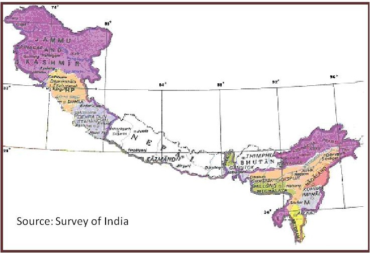
Posted on 01 Nov, 2011 09:37 PMThis report by the Task Force, constituted by the Planning Commission, Government of India in April, 2008, is an outcome of the need expressed by the Prime Minister of India for a fresh analysis of the problems of the hill states and hill areas of the country in a manner that suggests that these areas do not suffer in any way on account of their peculiarities.
Opinions have been expressed that the pace of development of the Indian Himalayan Region (IHR) has been slow when compared to the rest of the country. At the same time, its fragile nature and difficulty of taking up conventional development initiatives has not been appreciated. In this report, arguments have been presented recommending reshaping of policies to bring in the “mountain perspective” for the IHR, in the national planning. Emphasis has also been laid on developing norms for good governance and for harnessing social capital at the grassroots.
