Term Path Alias
/regions/physiography
/regions/physiography
To what extent farmers and water resource managers already practice adaptive management and whether it is practiced in an optimal manner or could there be areas for improvement based on recent advancements in the theory of adaptive management are some of the questions that are particularly appropriate in the light of rapid changes in river basin water use and also in relation to basin closure.
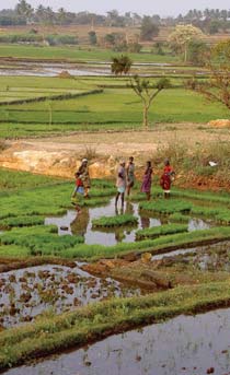
This paper draws on the development and use of water resources in the Lower Bhavani Project (LBP), with the LBP reservoir and the 84,000 hectare (ha) LBP command area. The project diverts water from the Bhavani River, a tributary of the Cauvery River in Tamil Nadu.
It investigates the difficulties they face and emphasizes the need for better integration of groundwater in the planning and management of urban water resources.
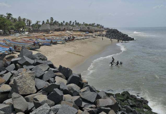 This report by Institute of Financial Management and Research (Madras) and Indian Institute of Technology (Madras) deals with the impact of sea level rise on major infrastructure, ecosystems and land along the Tamil Nadu coast.
The Tamil Nadu coastline is about 1,076 km, with thirteen coastal districts, and it forms a fairly large contiguous and narrow coastal strip dotted with fragile ecological features and rampant development activities. There are major, existing and proposed, economic and infrastructure developments, including ports, power plants, highways and even airports, which are being planned very close to the shoreline along India’s coast.
To provide the background hydrological information for the assessment of environmental flow requirements at four selected ‘Environmental Flow’ sites, a hydrological model was set up to simulate the catchment in the present state (with water regulation infrastructure) and to generate the natural flows (without water regulation infrastructure).
This paper published in the Indian Journal of Traditional Knowledge makes an attempt to record the fisheries related indigenous technological knowledge in terms of fishing crafts and gears used in river Krishna.
This paper in Current Science attempts to establish a missing stream link between the Markanda river and the Vedic Saraswati river in the plains of northern Haryana based on geoelectrical resistivity surveys. Resistivity surveys in the Gangetic Plains around Pehowa region in Haryana, have revealed different subsurface geological formations composed of fine, medium and coarse sand with gravel. Resistivity section between the lower part of the Markanda basin and the Saraswati river around Pehowa region indicates the presence of buried sand bodies connecting the two rivers.
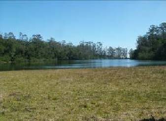 The initiative on hill wetlands in the Nilgiris Biosphere Reserve is supported through this. The area is located at the junction of the Eastern Ghats and the Western Ghats, or Sahyadris, the two prominent mountain ranges that run almost parallel to the coastlines of Peninsular India and is home to indigenous forest people and is a rare repository of mountain biodiversity.
The Nilgiris is home to unique wetlands that are the source of sustenance of numerous animals and human communities. Wetlands are among the more important reservoirs of biodiversity that nature has painstakingly crafted over millions of years.
Video courtesy: Soumitradey
Article and Image courtesy: BodhiCommons
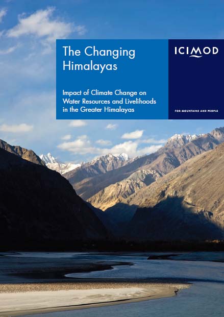 The greater Himalayan region “the roof of the world” – contains the most extensive and rugged high altitude areas on Earth, and the largest areas covered by glaciers and permafrost outside the polar regions.