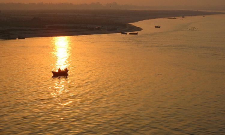
Ganga catchment area has lost over 1500 billion cusecs of water flow: Study
A study conducted jointly by the Australian National University of Canberra and the Kumaon University, Nainital has revealed that more than 1500 billion cusecs of water flow has been reduced in the Ganga catchment area in the Himalayas. The reason for this is urbanisation, rampant tree felling and road construction in the region. Also, per the study, the region is slowly turning into an arid zone and inviting repeated disasters due to wastage of 65% of rainwater every year.
India concerned as China approves three hydel projects on the Brahmaputra
The Chinese Government has approved three hydropower projects on the main stream of the Brahmaputra river in the Tibet Autonomous Region. As a lower riparian state, the Indian Government has conveyed its concerns to the highest levels of the Government of the People's Republic of China and has requested the latter not to harm India by any of its activities in upstream areas. China has already commissioned one power-generating unit of the Zangmu hydroelectric project in November, 2014.
Disaster study a must for Uttarakhand hydel projects
The National Institute of Disaster Management (NIDM) has requested the Government to take up 'Disaster Impact Assessment' of proposed hydropower projects in fragile areas such as Uttarakhand before granting clearance. Right now, there is no disaster study conducted along with the impact assessment study. Also, the Body has suggested that the Government look for alternative sources of renewable energy in the state, which has become vulnerable due to existing hydel projects.
Only 19% of India's coastline is stable
Per a new study published in Current Science based on satellite data over 15 years, 45% of the country's coastline is facing erosion. Also, out of the 8,414 km long coastline, a net area of nearly 73 sq km has already been lost. 19% of the coastline is stable while 36% is showing accretion. The data has also revealed that the Andaman and Nicobar Islands face the most erosion while Tamil Nadu has gained the most new shoreline and Goa has the highest percentage of stable shoreline.
CAG finds serious gaps in minor irrigation works in Maharashtra
The Comptroller and Auditor General of India (CAG) has pointed out to several irreglarities in implementation of irrigation works by the Water Resources Department of Maharashtra. In the past decade, the State has been able to increase its irrigation potential by just 0.1% despite an expenditure of Rs 70,000 crore. The State's mismanagement is taking a heavy toll on residents who are reeling under an acute water crisis and, to top it all, the Governement has decided to impose ‘drought tax’ on its residents.
This is a roundup of important news from August 11 - 17, 2015. Also read last week's policy matters updates.
/articles/study-reveals-reduction-water-flow-ganga-himalayan-catchment-areas