The India Meteorological Department (IMD) has generated a long-range forecast for the upcoming southwest monsoon season, which brings rainfall across the country from June to September. According to the forecast, the monsoon in 2022 will likely be normal with 96-104% of India's long-period average (LPA).
The seasonal precipitation is predicted to be 87 cm. As per the spatial distribution for the four-month period, there is a possibility of normal to above-normal rainfall in parts of northern peninsular India, adjoining Central India, along the Himalayan foothills and in some parts of Northwest India.
In contrast, many parts of Northeast India, some parts of Northwest India, and some parts of the South Peninsula will likely have below-average rainfall, as per The Weather Channel.
If the forecast comes true, the country will receive normal rainfall from the annual phenomenon for the fourth year in a row. Monsoon rains help boost the production of kharif crops such as paddy, coarse cereals, pulses and oilseeds.
Our current weather models are a lot more accurate than what they were a few decades ago. Director-General of Meteorology, India Meteorological Department claimed that the accuracy of forecasts for severe weather events such as cyclones, heavy rains and heat waves has increased by at least 20% from 2015-to 2020.
In an interview with the Indian Express Akshay Deoras, a doctoral researcher in the Department of Meteorology, University of Reading, UK has made the following observations on the limitations of weather modelling.
“One major limitation of weather models is that their accuracy decreases as the forecast lead time increases. Another limitation is that weather models can well predict large-scale weather conditions (e.g., tropical cyclones), but they may not always well predict smaller-scale weather events such as thunderstorms.
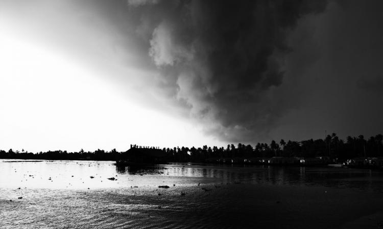
Climate change is making certain aspects of weather forecasting challenging. The most visible impact of global warming is on temperature (e.g., increasing frequency, intensity and duration of heatwaves). However, models do a decent job at predicting temperatures than predicting rainfall. Global warming can intensify extreme rainfall events, thereby increasing the risk of hydrological disasters.
Our current weather models are a lot more accurate than what they were a few decades ago whereas high-impact events such as lightning strikes, flash floods, and landslides remain a matter of concern given their relatively short predictability period. There are no landslide prediction models or a warning system in place that could be used this monsoon season given the IMD’s long-range forecast of above-normal seasonal rainfall in this region.”
There has been an increase in extreme weather events in the country considered to be an impact due to climate change. Last year, extreme rainfall claimed many lives in the country. Maharashtra has witnessed deadly landslides in July 2021. On July 22, 2021, a massive landslide occurred in Taliye due to incessant and heavy rainfall killing 84 people. However, it is not located in a landslide-prone area. There is no mining activity nearby. Apart from that in February 2021 an avalanche in the upper catchment of the Rishiganga river in Uttarakhand caused a flash flood, washing away a 13 MW hydropower project.
In the recent past, there have been multiple incidents of cloudbursts, flash floods and landslides in hilly areas of the country. Had there been a forecast, on the scale of landslide, such a rescue team could have been stationed earlier. In Taliye, the helicopter carrying the response team could not land in the deluge. An accurate forecast, give 5-7 days in advance which can make a big difference on the ground. The local administration will get time to alert and evacuate people if required while the response teams can get ready on the ground.
The Director-General, NDMA points out that unlike cyclones, where forecasting and early warning systems are robust, landslides are highly localized making specific predictions difficult. Forecasting flash floods ahead of time is even harder. We need to beef up catastrophe modelling, dissemination of advisories, and weather literacy among people.
In India, there are multiple government agencies that manage disasters and forecast natural calamities. IMD forecasts rainfall, cyclone, heatwaves and thunderstorms etc., whereas landslides are handled by the Geological Survey of India (GSI) and floods by the Central Water Commission (CWC).
But there are disasters such as landslides and flash floods for which no robust forecasting mechanism has been evolved yet. Some progress in providing flash flood data since last year has been made. A landslide may be a result of several such soil movements that become frequent and increase in magnitude over a short period of time.
“On landslide forecasting too, some steps have been taken. IIT, Mandi has been experimenting with a pilot landslide forecasting project. Forecasting landslides is difficult as they do not occur very often. The landslide monitoring system at IIT is good at monitoring and forecasting the amount of soil movement at sites.” (The Economic Times, dated 8/8/21)
Author
Dr Samar Lahiry is a former Adviser, Planning Commission, Government of India
/articles/need-robust-forecasting-mechanism-landslides-and-flash-floods