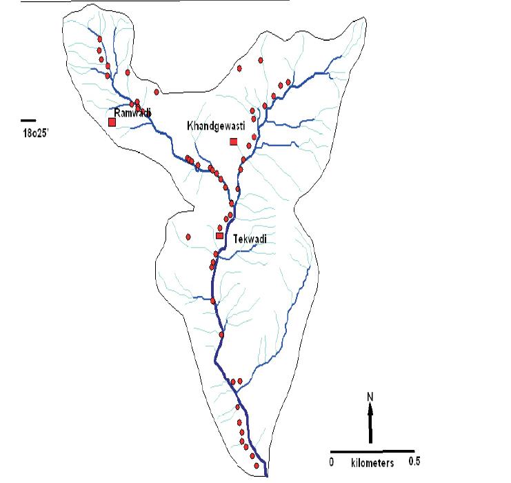
This detailed hydro-geological action research study in ten villages of Eastern Purandar taluka in Pune district (which is classified as a dark zone due to excessive groundwater exploitation) gives a good picture of groundwater resources in the area, and complements it with allied information such as weather data, socio-economic details, thematic groundwater maps, aquifer information, groundwater usage and its recharge-discharge relationship in space-time.
The study was undertaken by ACWADAM and GGP, with a purpose to provide a platform for implementing agencies for on-the-ground action towards better groundwater management practice through community based efforts, as well as to advocate the typology of groundwater problems, that require specific approaches for mitigation.
The starts with a basic introduction to the study area, objectives and methodology adopted, and is followed by sections on the accumulation and movement of groundwater and the situational base. These two sections have details about the drainage, geology and hydro-geology of the region, groundwater over-exploitation, groundwater salinity, community-based groundwater systems, groundwater characteristics, base flow in streams, water quality, weather, pumping tests, hydro-chemical characteristics, pollution indicators, socio-economic aspects, remote sensing maps and more.
The study recommends that to improve the groundwater situation in the area, new soil/water conservation structures be built in the upper reaches of the watershed, and focus for the existing soil/water conservation structures be on maintenance and repairs. It concludes with a list of specific action-recommendations based on three typologies - groundwater over-exploitation, inland groundwater salinity and community-based groundwater management.This detailed hydro-geological
action research study in ten villages of Eastern Purandar taluka in Pune district (which is classified as a dark zone due to excessive groundwater exploitation) by
ACWADAM gives a good picture of groundwater resources in the area, and complements it with allied information such as weather data, socio-economic details, thematic groundwater maps, aquifer information, groundwater usage and its recharge-discharge relationship in space-time. The study was undertaken by ACWADAM and GGP, with a purpose to provide a platform for implementing agencies for on-the-ground action towards better groundwater management practice through community based efforts, as well as to advocate the typology of groundwater problems, that require specific approaches for mitigation.
 This report by ACWADAM includes a detailed action research study in ten villages of eastern Purandar of Pune district, Maharashtra and starts with a basic introduction to the study area, objectives and methodology adopted, and is followed by sections on the accumulation and movement of groundwater and the situational base.
These two sections have details about the drainage, geology and hydro-geology of the region, groundwater over-exploitation, groundwater salinity, community-based groundwater systems, groundwater characteristics, base flow in streams, water quality, weather, pumping tests, hydro-chemical characteristics, pollution indicators, socio-economic aspects, remote sensing maps and more.
The study recommends that to improve the groundwater situation in the area, new soil/water conservation structures be built in the upper reaches of the watershed, and focus for the existing soil/water conservation structures be on maintenance and repairs. It concludes with a list of specific action-recommendations based on three typologies - groundwater over-exploitation, inland groundwater salinity and community-based groundwater management.
Download the report from below:
This report by ACWADAM includes a detailed action research study in ten villages of eastern Purandar of Pune district, Maharashtra and starts with a basic introduction to the study area, objectives and methodology adopted, and is followed by sections on the accumulation and movement of groundwater and the situational base.