In rural India, where agriculture remains a primary livelihood, access to basic amenities is often lacking, contributing to low livelihood security. The presence of extensive wasteland, particularly in regions like West Bengal, exacerbates these challenges, especially in socially marginalised areas. Recognising the significance of sustainable livelihoods, scholars have proposed various frameworks integrating ecological, economic, and social dimensions. Assets such as human, financial, social, natural, physical, and political are essential for sustainable livelihoods, guiding poverty reduction efforts.
While macro-level studies have examined livelihood security across India, micro-level assessments, particularly in wasteland-dominated areas, are scarce. Understanding the spatial distribution of livelihood security is crucial for informed policymaking aimed at poverty reduction and spatial inequality mitigation, aligning with the Sustainable Development Goals (SDGs).
Against this backdrop, the study ‘Village‐level livelihood security: A case study on a wasteland‐dominated forest fringe region of rural India’ focuses on estimating the magnitude of livelihood security by combining the availability of natural resources, housing, drinking water, and sanitation facilities, economic condition, socio‐cultural condition, and availability of assets at the village level in Garhbeta-II Block, West Bengal.
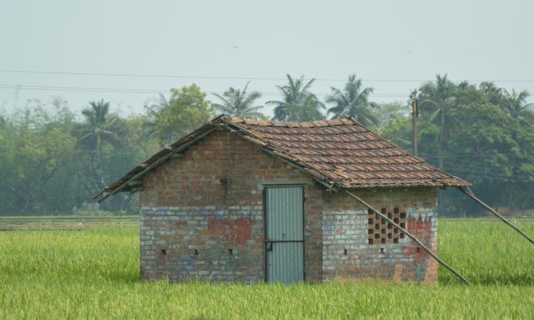
The study area in Garhbeta‐II Block, a backward area in Paschim Medinipur, West Bengal, has 334 Mouzas with 264 inhabited villages. Geologically, it's dominated by the Lalgarh formation, part of the East Chhota Nagpur Plateau, with a tropical monsoon climate. Socio-economically, it has a predominantly rural population with low literacy and agriculture-centric livelihoods.
Methodology
The study delineates the spatial patterns of various livelihood dimensions and overall security, classifying spatial units based on their security levels. The database utilised both satellite and Census of India 2011 data for assessing livelihood security dimensions. Sentinel‐2 data in 10m resolution were employed for normalised difference vegetation index (NDVI) and land use/land cover (LULC) analysis across different seasons.
Socio-economic data were gathered from various Census of India sources. The livelihood security index was calculated through the analytical hierarchical process (AHP), integrating methodologies from previous studies. Village-level natural resource assessment involved NDVI mapping and field surveys to distinguish land use classes.
Livelihood security index comprised six sub-components: natural resource capital, economic capital, shelter capital, household's drinking water, sanitation and hygiene capital, household's assets capital, and socio-cultural capital. Indicators within each sub-component were normalised and weighted using AHP to determine their importance. Locally relevant indicators were prioritised, and pairwise comparisons were used to assign weights. Consistency ratios were assessed to ensure reliability. The study found consistency ratios below 5% for each aspect of the livelihood index, indicating robustness.
Results
The NDVI analysis revealed varying vegetation health across seasons, with October showing the highest values due to post-monsoon vitality. Agricultural land and dense forest exhibited similar brightness levels, while wasteland showed sporadic shrubbery growth after the monsoon. Agricultural fallow land and degraded forests were challenging to differentiate in April, requiring a forest boundary map for distinction. From late June to early November, the region generally displayed healthy vegetation due to optimal water supply, with the principal crop season from July to October.
The LULC map highlighted a significant forest cover (approximately 36%) but with inconsistent health, and a substantial portion of agricultural land (about 33%), primarily marginal or single cropland. Wasteland constituted about 19% of the area, concentrating in the middle section, potentially impacting livelihoods. Spatially, villages along the main river exhibited higher natural resource index values, while those distant from water sources had lower values due to water scarcity.
The study identified spatial inequalities in various dimensions of livelihood security. Villages near permanent water sources showed higher indices, indicating better economic and shelter conditions. Agricultural development was prominent along riverbanks, contrasting with lower indices in central and southwestern areas. These findings underline the importance of water access and highlight disparities in livelihood security distribution.
Discussion
Spatial analysis revealed higher natural resource coverage in villages along riverbanks, indicating elevated income and living standards. Conversely, areas dominated by wasteland exhibited lower livelihood security levels. Previous research focused on various physico-cultural environments, but assessments in wasteland-dominated regions were limited.
The study underscored the importance of modern agricultural development tailored to local conditions, suggesting diversified crop production and modern agricultural practices. Concentration of natural resources, particularly agricultural land along the Shilabati River, correlated with higher livelihood security. Conversely, areas with wasteland and forest cover showed lower security levels, suggesting the need for tailored crop planning and wasteland development initiatives.
The findings align with previous research highlighting crop patterns in wasteland regions and emphasise the importance of proper land utilisation for enhancing livelihood security. Overall, the study underscores the significance of area-specific development strategies, particularly in wasteland-dominated regions, to improve livelihoods and address socio-economic challenges.
Policy recommendations
In addressing the challenges of impoverished regions, a multi-faceted approach is imperative.
- Governments, international bodies, and NGOs must invest in affordable infrastructure while empowering locals with the necessary skills. Prioritising crops with lower water demand and emphasising high-value output from low productivity is essential. Mixed farming offers a reliable avenue for high yields and income with minimal risk. Sustainable planning based on market demand is crucial for livelihood promotion.
- Efficient wasteland management and participatory forest initiatives can uplift income levels. Policymakers should prioritise agricultural land management, including crop planning and livestock development, alongside food processing industries. Skill-based education programs are vital for enhancing local capabilities.
- Tailored strategies are needed for villages with varying livelihood security levels. For those with higher security, optimising crop management and introducing cash crops can elevate per capita income. Villages facing lower security require interventions like water harvesting systems, participatory irrigation, and ecological recovery of wastelands for profitable fruit cultivation and natural forest management.
- Implementing site-specific strategies like converting deforested areas into dense forests and transforming single-crop lands into multi-crop ones with high-value produce is crucial for sustainable livelihood development.
This study underscores the significance of river water and agricultural land availability for enhancing livelihood security in rural India, aligning with poverty and inequality reduction goals (SDG 1 and 10), and promoting socio-economic sustainability.
/articles/enhancing-livelihood-security-wasteland-dominated-areas