Extreme rainfall events in India can not only have a massive impact on the agricultural output, but also create havoc in urban areas of the country by affecting lives and livelihoods and destroying property and infrastructure. And India needs to be climate ready to deal with these in the future.
Recent studies have predicted that the geographic distribution of rainfall will change in response to global warming and will be reflected as ’wet getting wetter' or ’warmer getting wetter’ patterns.
This paper titled 'West coast India’s rainfall is becoming more convective' published May 2022 in the journal Climate and Atmospheric Science informs that the Arabian Sea has received special attention because of its proximity to India and the impacts it can have on the population of the country.
Accelerated warming of the Arabian Sea since the 1995s is triggering intense cyclones over the Arabian Peninsula and Indian subcontinent. And climate change is changing monsoon patterns in India. Global warming is projected to cause an increase in both the mean Indian monsoon rainfall and the frequency of extreme precipitation events over the country. Extreme rainfall events have tripled across central India since 1950.
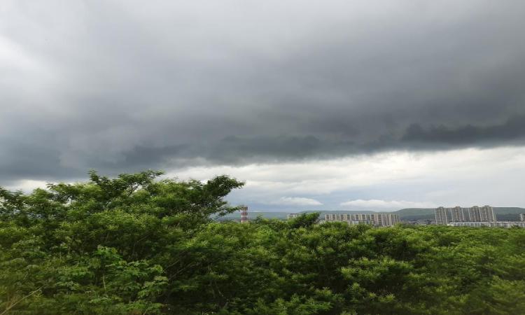
How do the monsoon clouds form over India ?
The monsoon arrives in India following the unfurling of a series of unique events. The movement of the sun to the north during summer heats up the Indian landmass to create an area of low pressure that attracts moisture-laden winds from the cooler ocean to form the monsoons. Low pressure near the equator also pulls together moist winds to form a cloud belt around the earth.
Heat pushes this cloud belt forward as it merges with the monsoon winds to form a trough. The advancing monsoon is helped by jet streams blowing from the west to east. Western Ghats, the Eastern Ghats and the Himalayas offer enough highlands to make the moist winds yield rains while the Himalayas confine the monsoons within the Indian subcontinent.
Watch this video to know more on how the monsoon clouds form over India
Extreme rainfall events are happening frequently in India
The study examines the changes in rainfall patterns along the west coast of India in the recent past by looking at statistically significant differences in monthly monsoon season between two epochs, 1980–1999 and 2000–2019.
The study finds that rainfall over the west coast of India is becoming more convective with the development of more tall and deep, ice rich clouds that create sharp and intense rain spells over a short period of time.
These changes may be connected to Arabian Sea warming, leading to moisture transport to central parts of the country, greater instability, and strengthened monsoon ascent over western India.
Even though the study was done on India's west coast, other parts of the country are also witnessing convective rainfall. For example, while the state of Kerala witnessed extreme rainfall events and landslides in August 2018 and 2019, even inland regions such as Pune, Bangalore, parts of Uttarakhand experienced extreme rainfall events in 2022.
The study argues that if these trends are a part of a forced climate signal, there is a likelihood that they may continue every year and can lead to massive economic, social and ecological consequences calling for the need to be better prepared in the future.
/articles/tall-and-deep-clouds-will-trigger-intense-spells-rain-india