The loss of connectivity is a ubiquitous threat facing rivers worldwide considering the numerous river infrastructure projects that exist worldwide and continue to be commissioned to meet humanity’s growing demands for hydropower, flood control, and water supply. Not surprisingly, freshwater ecosystems are among the most altered and threatened globally.
Existing dams regulate over half the world’s major river systems and allow only 23% of large rivers (>1000 km in length) to flow uninterrupted into the ocean.
The primary impact of river infrastructure projects is the loss of river network connectivity through the construction of a physical barrier. This can impede the movement of sediments, nutrients, water, and aquatic organisms along the river network, thereby altering riverine habitat structure and ecosystem processes and functions.
The proliferation of river infrastructure projects has altered aquatic longitudinal connectivity, posing a growing threat to riverine biodiversity and ecosystem processes worldwide. Effective methods to quantify loss of river connectivity across spatiotemporal scales and in data-limited landscapes are important to understand and inform basin-wide conservation and development planning.
Dams and other river infrastructure projects pose direct barriers to the movement of aquatic biological communities, most notably on fish species that migrate along dendritic networks to access feeding or spawning grounds.
A recent study published in ‘Ecological Indicators’ titled ‘A new index to quantify longitudinal river fragmentation: Conservation and management implications’ by Suman Jumani et al introduces a Catchment Area-based Fragmentation Index (CAFI) and its derivative, the Catchment Area- and Rainfall-based Fragmentation Index (CARFI) as new metrics to quantify river fragmentation.
These indices use catchment area as a proxy for riverine habitat availability, avoiding the drawbacks of existing metrics that rely on river length and associated derivatives. CAFI/CARFI can be computed across spatiotemporal scales, incorporate barrier passability values, assesses the cumulative impact of multiple barriers, and be applied even in data-limited environments.
The study first applied CAFI and CARFI to a simulated network to illustrate their properties with respect to the number and location of barriers and compared these results to the widely applied Dendritic Connectivity Index (DCI). While all indices varied with barrier addition, CAFI and CARFI were more sensitive to both barrier number and location.
Next, it illustrated the utility of CAFI and CARFI through case studies in two contrasting settings: the Klamath River in California, where dam building has ceased (and dam removals are being considered) and the Netravathi River in India, where dam building is ongoing, with 65 dams proposed for future development.
Results indicate that CAFI and CARFI can effectively quantify trends in fragmentation across spatial scales and temporal scenarios of dam development (i.e., descriptive applications) and can aid the prioritization of sites for dam removal, restoration, or conservation (i.e., prescriptive applications). Overall, these indices can quantify the impacts of individual dams and assess a range of development scenarios to inform basin-wide conservation and development planning.
Case study application of the CAFI and CARFI in Netravathi
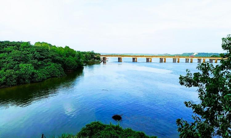
The Netravathi River is a small west-flowing river originating in the mountains of the Western Ghats of Karnataka State in India. The basin receives an average rainfall of 4063 mm and experiences strong orographic rainfall trends, with rainfall intensity varying between 6433 mm and 2780 mm from upstream to downstream reaches.
The basin encompasses an area of approximately 3470 km2 and the river flows over 104 km before emptying out into the Arabian Sea. This region is part of the Western Ghats global biodiversity hotspot (Myers et al. 2000) and UNESCO world heritage site. This river is also identified to be a potential freshwater key biodiversity area (Molur et al. 2011), characterised by exceptionally high levels of species richness and endemism and intense anthropogenic pressures.
The river has 24 current dams along its network, and 65 small hydropower dams (those that produce < 25 MW) have been proposed for further development. Hence, CARFI values were examined across two scenarios – the present scenario characterised by all existing dams (n = 24), and the future scenario characterised by the presence of all existing and proposed dams (n = 89).
These scenarios were examined at the spatial scales of the basin and sub-basin (defined by level 8 of the HydroBASINS dataset under the assumption that every barrier is impassable. Additionally, ‘optimised’ strategies of dam development were identified to minimize fragmentation while maximising human gain with respect to hydropower capacity.
Dam building on the Netravathi began in 1990, and a steep increase in fragmentation was seen in the years following 2010 due to the construction of five dams along mainstem channels. The present scenario, characterised by 24 dams, resulted in a basin-level CARFI score of 281.8; the addition of 65 proposed dams will increase basin-level CARFI to 958.9. At the sub-basin scale, all sub-basins show an increase in fragmentation from the present to the future scenario, except for the Gowri River sub-basin.
The indices can also be used in optimization or sensitivity analyses to better plan dam removal, mitigation action, or management. Ranking of dams based on their impact on fragmentation can help identify good and bad options for dam removal or placement.
The impact of individual and cumulative dams on fragmentation can be viewed against dam contributions to determine relatively “better” (low fragmentation and high benefit) and “worse” (high fragmentation and low benefit) projects. Since these indices measure only structural fragmentation, they are intended to guide conservation and management decisions along ground-level studies or impact assessments and social and ecological considerations.
Conclusion
Metrics that evaluate the impacts of river infrastructure projects on fragmentation can play an important role in the conservation and management of riverine ecosystems. The widespread use of fragmentation metrics highlights the need for easily derived and ecologically relevant tools to make such evaluations.
Though such metrics cannot substitute for empirically derived data, they can be effectively used by stakeholders to assess potential impacts of specific dams and provide a means to assess a range of conditions as a first step towards basin-wide conservation planning. Given their widespread utility, such metrics need to be sufficiently robust with respect to their underlying assumptions, properties, and ecological relevance to be meaningfully applied.
The results presented here demonstrate the descriptive and prescriptive utility of the CAFI/CARFI for conservation and management planning, as well as potential drawbacks that may constrain their value. Despite their limitations, these indices overcome some of the disadvantages associated with existing metrics. These improvements make the CAFI/CARFI a useful metric that can be applied across scenarios to quantify the individual and cumulative impacts of barriers on a river network.
Their applications in quantifying fragmentation and in identifying ‘good’ and ‘bad’ dams, priority sites for dam removal or mitigation, and project locations that can have lower impacts on fragmentation make CAFI/CARFI a useful tool to guide conservation and restoration of rivers and the biodiversity they support.
The full report can be accessed here
/articles/new-index-quantify-longitudinal-river-fragmentation