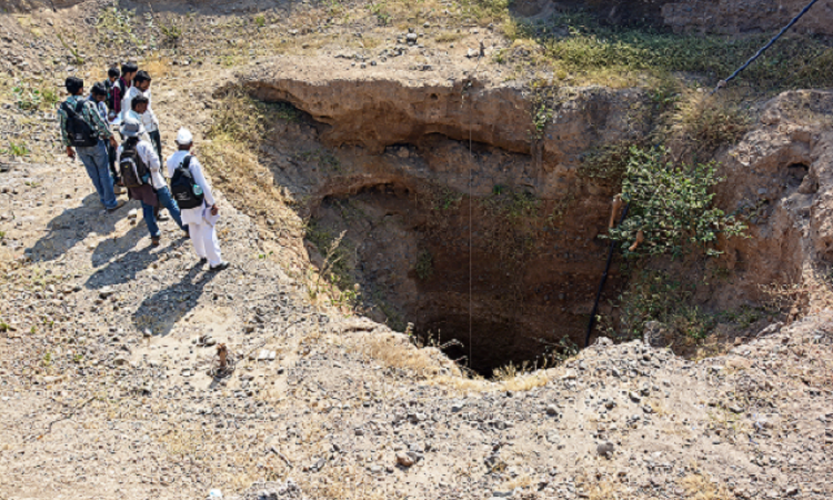
Groundwater, though replenishable, is ultimately a finite resource. Excessive withdrawal leads to depletion of the water stored underground, resulting in serious social, economical and environmental consequences.
So, how is this groundwater estimated and how can it be recharged? Which are the states that show the highest fluctuation in water level? Three reports brought out by the Central Ground Water Board (CGWB) provide clarity on the groundwater situation in the country.
When the water levels of January 2014 was contrasted with the decadal mean of January (2004-2013), a pattern emerges. Maximum fall in water level is observed in and around parts of Punjab, Rajasthan and Tamil Nadu while a rise is observed in most other parts of the country. The rise in water level in the states of Punjab, Kerala and Tamil Nadu rise is observed as patches.
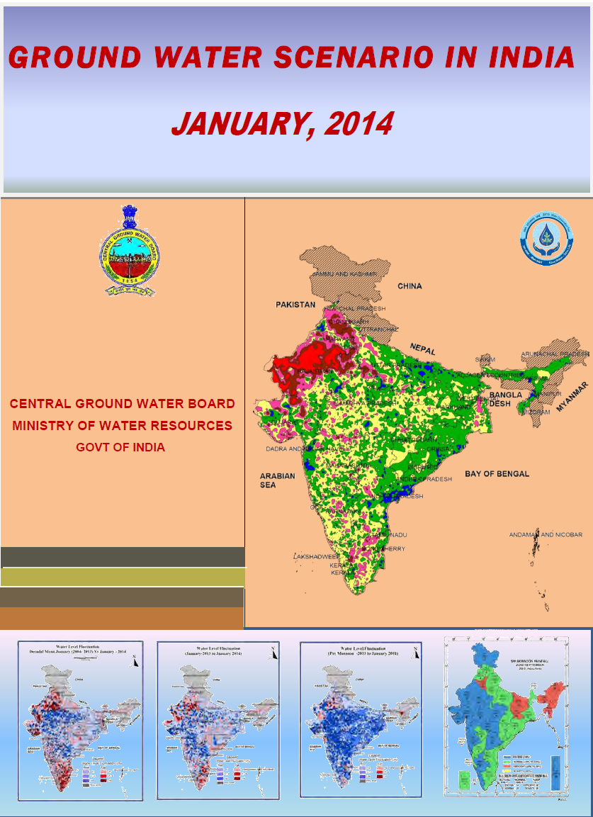
Groundwater Scenario in India, January 2014
This report by Central Ground Water Board (CGWB) has the latest information and statistics backed by data collected four times a year from 14,391 observation wells across the country. State-wise statistics of groundwater levels in comparison with various parameters such as water level in previous years, decadal average and pre-monsoons groundwater levels give a comprehensive view of the existing scenario.
 Here’s a gist of the important segments of the report:
Objective: The primary objective of establishing the ground water monitoring network stations is to record the response of groundwater regime to the natural and anthropogenic stresses of recharge and discharge parameters.
Rainfall pattern: Even though the season rainfall over the country as whole was more than the long term LPA, 3 subdivisions from the extreme northeast received deficient rainfall. There was noticeable disparity in the spatial distribution of the rainfall with below normal or deficient rainfall over east and northeast India and above normal or excess rainfall over most of the other regions.
Ground Water Level Scenario in India: Compared to January 2013, 66% of analysed wells show a rise and 31% a fall in water level, of 0-2 m in most cases. In general, there is rise in the water level in almost the entire country. The decadal water level fluctuation shows that the maximum fall is observed in Punjab, Rajasthan and Tamil Nadu.
State-wise scenario of ground water level: A comparison with previous year and premonsoon period water level as well as change with respect to decadal average has been discussed for all states.
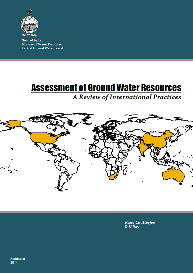
Assessment of Ground Water Resources: A Review of International Practices

In addition to being a compilation of international best practices, this assessment report proposes a new approach for estimating ground water resources in the country. It provides a framework for operationalisation of a robust and scientific ground water resource estimation process in the country.
Highlights of the report:
Exploitable groundwater resources: Policies define exploitable ground water resource, mostly based on safe yield, sustainable yield and planned depletion approach.
Methods for estimation of Groundwater resources: Several techniques are available for estimation of ground water recharge. They can broadly be classified into methods based on physical parameters, chemical and isotopic methods, numerical modelling and empirical methods. The choice of technique depends upon the objective of the study and hydrological and hydro-meteorological conditions of the area. As all these have inherent uncertainties, it is advisable to use more than one method to arrive at an estimate.
Groundwater resources assessment at regional scale: Discusses Kansas High Plain and related Aquifers, USA; Murray Darling Basin, Australia; Rietpoort Dolomite Compartment, South Africa; Curragh Aquifer, Ireland; China-Taiwan and Urban Areas and Country level assessment for South Africa, Australia and USA
Recommendations: Existing practices of ground water resource estimation in India are comparable to the international practices. A refined methodology has been proposed based on Sustainable Yield Policy where the assessment unit would be aquifer based, alternatively hydrologic unit like micro-watershed (hard rock), doab (alluvium) and catchment area (hilly terrain).
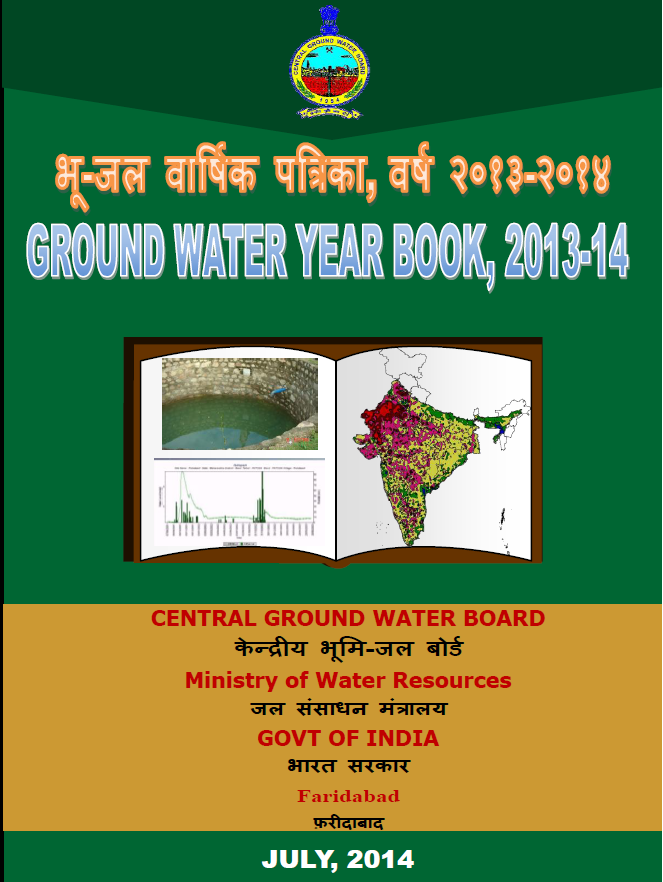
Groundwater Year Book 2013-14
The groundwater year book by CGWB, gives an overview of the type and distribution of groundwater resources in the country.
Hydrogeological setup of the country: Gives a description of the groundwater resources, their occurrence in porous and fissured rock formations.
Groundwater level scenario: Depicts the changes in groundwater regime of the country through different seasons. The water level and water level fluctuation maps are prepared for each monitoring period to study the spatial and temporal changes in ground water regime.
GW resource availability & development status: The report places the stage of ground water development in the country is 61%. In Delhi, Haryana, Punjab and Rajasthan, this is more than 100%, which means that here the annual ground water consumption is more than annual ground water recharge.
All 3 reports may be downloaded below.
/articles/groundwater-status-should-we-be-worried