/regions/jharkhand
Jharkhand
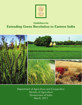
Guidelines for extending green revolution to eastern India - Document prepared by Department for Agriculture and Cooperation (2011)
Posted on 27 May, 2011 07:50 AM The states of Assam, Bihar, eastern U.P, Chattisgarh, Jharkhand, Bengal, Orissa were allocated extra funds in the last year for this purpose.
Impact assessment of urbanization in Indian city of Ranchi – A report in Geospatial World
Posted on 02 Apr, 2011 07:49 AMPatterns of spatial and temporal urban changes have been analysed efficiently using spatial and temporal technologies such as Geographical Information Systems (GIS) and Remote Sensing (RS) along with collateral data such as Survey of India (SOI) maps, etc.
National level training program on “On farm Training on System of Rice Intensification (SRI)” - 15th - 16th March 2011, Rukka, Ranchi
Posted on 14 Feb, 2011 01:55 PM![]() Organizer: Krishi Gram Vikas Kendra (KGVK)
Organizer: Krishi Gram Vikas Kendra (KGVK)
Venue: Neori Vikas, Rukka, Ranchi, Jharkhand
Determination of SCS runoff Curve Number and land use changes for Hamidnagar sub-basin of Punpun basin – A research report by National Institute of Hydrology
Posted on 27 Jul, 2010 11:33 PMThe report deals with determination of SCS runoff Curve Number and land use changes for Hamidnagar sub-basin of Punpun basin. The design of any hydraulic structure calls for the estimation of runoff. The Soil Conservation Services model, developed by USDA, computes direct runoff through an empirical equation that requires the rainfall and watershed coefficient as inputs. The watershed coefficient is called the Curve Number (CN), which represents the runoff potential of the land cover-soil complex.
Development of regional flood frequency relationships using L-moments for South Bihar – A research report by the National Institute of Hydrology
Posted on 14 Jul, 2010 10:55 PMIn this study, regional flood frequency relationships have been developed using L-moments for South Bihar, in the alluvial plains of Indo-Gangetic basin and Kaimur-Chhotanagpur Santhal Pargana plateau. The annual maximum peak flood data of twenty-two gauging sites whose catchment areas vary from 11.7 to 3171 sqkm have been used. The mean annual peak floods of these sites vary from 29.15 cumec to 1293.2 cumec. Comparative regional flood frequency analysis studies have been carried out using some of the commonly used frequency distributions viz Extreme Value (EV1), General Extreme Value (GEV), Normal, Log Pareto (GPA) and Wakeby based on L-moments approach.
Applications of Artificial Neural Networks in flood studies of Ajay river basin in Jharkhand - A research report by National Institute of Hydrology
Posted on 12 Jul, 2010 08:29 AMThe study evaluates the applicability of Artificial Neural Networks (ANN) in rainfall-runoff process modeling for the Ajay river basin, Jharkhand to predict the 6-hour ahead runoff at Sarath. Initially three flood events were considered for training, to find out the weights between different layers of the network. The back propagation algorithm has been used for optimization of weights. The developed ANN was validated for rest of the flood events.
Seeds of hope - Case studies from the Planning Commission and Lokayan
Posted on 12 Jul, 2010 03:33 AMThis set of case studies is part of a book prepared by Lokayan in collaboration with the Planning Commission titled “Seeds of Hope", covers themes of agricultur
Hydrological inventory of South Bihar river basins – A report by National Institute of Hydrology
Posted on 12 Apr, 2010 12:25 PMThis report by National Institute of Hydrology provides a compilation of the hydrological information of seventeen different river basins of South Bihar (now Jharkhand). Hydrological modeling of a basin requires detailed hydrological information about the basin. Further, the hydrological information of a region or a basin is of immense use to water resources planners and managers. However, the hydrological information collected by different organizations are often scattered and are not in representable form.
Water conservation in industry - A case study of ACC Chaibasa Cement Works Limited
Posted on 17 Nov, 2009 03:53 PMThis has been carried out through strengthening its water monitoring system by installation of water meters at source points, recycling of effluent of reject pit discharge to abandoned mine pit, zero effluent discharge by providing sedimentation tanks and re-utilisation of effluent. Apart from water, work was also done on reducing Greenhouse gas emissions.
NREGA is making a difference to the lives of the rural poor: An article from Frontline magazine
Posted on 29 Aug, 2009 12:33 PMRead the main article: " Battle for work" by Jean Dreze and Reetika Khera.