/regions/ganga-yamuna-doab
Ganga - Yamuna Doab
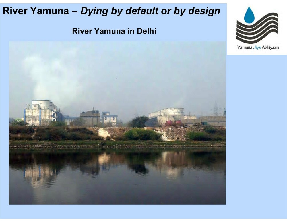
River Yamuna - Dying by default or by design: A public lecture on river Yamuna
Posted on 14 Jan, 2012 05:24 PMIt aims to inform, enlighten and suggest solutions to bring back the river Yamuna to a healthy and resilient state.
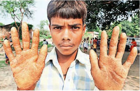
Investigation and assessment report: Arsenic in drinking water sources and related problems of Ballia district of Uttar Pradesh
Posted on 28 Dec, 2011 11:03 AMFollowing media reports about arsenic contamination in Ballia, and a complaint addressed by the people of Ballia to the Ministry of Rural Development, a National Level Monitor was requested to enquire into the issue of water quality.
The impacts of water infrastructure and climate change on the hydrology of the Upper Ganges river basin – A research report by IWMI
Posted on 18 Dec, 2011 07:03 PM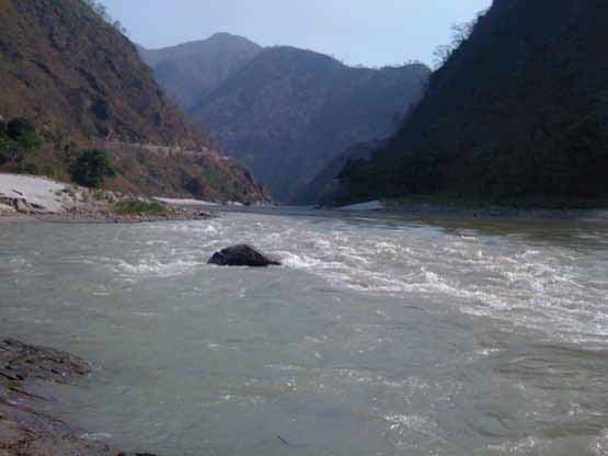 The Ganges river system originates in the Central Himalayas, and extends into the alluvial Gangetic Plains and drains into the Indian Ocean at the Bay of Bengal. In the upstream mountainous regions, hydropower is the main focus of development with mega and micro projects either under construction or being planned in both Nepal and India.
After the main river channel reaches the plains, it is highly regulated with dams, barrages and associated irrigation canals. All this infrastructure development and abstractions affects the river’s flow regime and reduces flows, which, in turn, impacts downstream water availability, water quality and riverine ecosystems. Furthermore, there are concerns that climate change is likely to exacerbate the water scarcity problem in the Ganges Basin. Therefore, modeling the hydrology of the basin is critical for estimation, planning and management of current and future water resources.
Traditional water bodies of Delhi
Posted on 18 Dec, 2011 01:56 PMSohail Hashmi, an author, film-maker, one of the founders of the Safdar Hashmi Memorial Trust (SAHMAT) and a true Dilliwala on 5 December 2011 at the India Habitat Center. The presentation woven around photographs of the city's step well
Workshop on rainwater harvesting in Meerut’ - Janhit Foundation's e-newsletter of March 2011
Posted on 11 Nov, 2011 09:29 PMContent courtesy: Janhit Foundation
Zero tillage in the rice-wheat systems of the Indo-Gangetic plains - A review of impacts and sustainability implications by IFPRI
Posted on 31 Oct, 2011 06:49 PM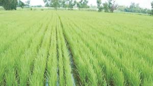 This paper by the International Food Policy Research Institute (IFPRI) reviews the success of zero-tillage wheat in the rice-wheat systems of the Indo-Gange
Establishment of missing stream link between the Markanda river and the Vedic Saraswati river in Haryana – A paper in Current Science
Posted on 05 Aug, 2011 04:11 PMThis paper in Current Science attempts to establish a missing stream link between the Markanda river and the Vedic Saraswati river in the plains of northern Haryana based on geoelectrical resistivity surveys. Resistivity surveys in the Gangetic Plains around Pehowa region in Haryana, have revealed different subsurface geological formations composed of fine, medium and coarse sand with gravel. Resistivity section between the lower part of the Markanda basin and the Saraswati river around Pehowa region indicates the presence of buried sand bodies connecting the two rivers.
The Gharial - Our river guardian - A factsheet prepared by the Ministry of Environment and Forests
Posted on 28 Apr, 2011 04:35 PMIt was found in Pakistan, Bangladesh, Burma and Bhutan, but is now extinct in these countries. Today, it is seen in a few places in Nepal. In India the major population of Gharials is found in the Girwa and Chambal rivers. It faces many threats to its survival which include fishing, linking of rivers, large irrigation canals etc.
Deep wells and prudence - Towards pragmatic action for addressing groundwater overexploitation in India - A World Bank document (2010)
Posted on 12 Apr, 2011 01:51 AM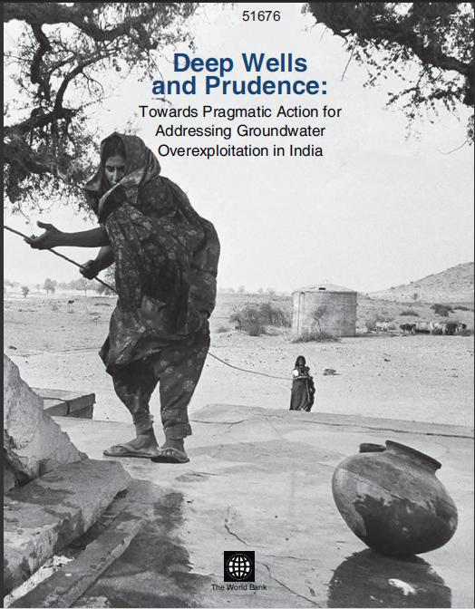 India is the largest user of groundwater resources in the world. It is estimated that approximately 230 cubic kilometers per year is used annually, this is more than a quarter of the total world consumption from this resource.
It is in this context that this World Bank report looks at the reasons for this quantum of groundwater usage.
The report delves into socio-economic and political reasons and looks at policies which inadvertently promote so much extraction. The report also analyses various attempts to manage this resource. These attempts range from government and international agency efforts directed to grassroots mobilisations. Finally the report comes out with suggestions to deal with this crisis.
Remote sensing and census based assessment and scope for improvement of rice and wheat water productivity in the Indo-Gangetic basin - A working paper by Challenge Program on Water and Food
Posted on 22 Aug, 2010 04:48 PMThis paper by the Challenge Programme for Water and Food (CPWF) presents a simplified approach to combine remote sensing, census and weather data to analyze basin rice and wheat water productivity (WP) in Indo-Gangetic river basin, South Asia. It presents an innovative approach to combine meteorological data, ground survey, national census with remotely sensed imagery to assess water use, yield, and finally crop water productivity for the Indo-Gangetic rice-wheat cropping system in South Asia.