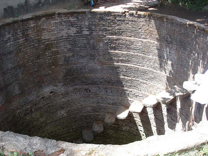
Groundwater is a natural replenishable resource. It is an important source for various purposes, including drinking, irrigation and industrial, due to insufficient surface water supply and frequent failure of monsoon. Identification of groundwater zones depends upon many factors such as distribution of rainfall, runoff, grain size of soil, topographic features, type of landform, drainage conditions, lithological characteristics, land use practices, depth to groundwater level and environmental constraints, which are not uniform in any area.

Image courtesy: Wikimedia Commons
Therefore, the following guidelines are essential and can be applied locally or regionally for success of well site selection -
- Low-lying areas are more favourable as compared to slopy area and highlands for sinking wells, as groundwater flows in the direction of descending slope.
- Vegetation flourishes where the groundwater is available at shallow depths. Thus, the occurrence of thick vegetation indicates large groundwater storage at shallow depth. However, the presence of vegetation like desert plants indicates the scarcity of groundwater at shallow depths, as they absorb water from the sub-surface and store it in their thick fleshy leaves and stems.
- Areas comprising thick soil or alluvium cover and weathered, fractured, jointed, and faulted rocks indicate good storage of groundwater, as these support infiltration of groundwater recharge. However, fine-grained soils like clay cannot support infiltration of groundwater. Moreover, they cannot transmit water from one place to another and have saline groundwater due to stagnation. Coarse-grained soils transmit water and hence the water is potable. Bald rocky areas lack such favourable conditions as they do not permit infiltration of water. Thus, these rocks indicate paucity of groundwater.
- Surface water bodies like tanks, ponds, lakes, streams, reservoirs and rivers serve as sources of recharge to the nearby areas. Thus, if we sink wells in and around the areas of surface water bodies, the wells can yield sufficient water.
- The study of existing wells in the vicinity of the proposed well sites with respect to soil cover, rock types (hard rock or soft rock) and their structural conditions (fractures, joints, faults, etc.) depth to water table and well yield is essential to have a clear picture of the hydrogeological conditions of an area.
- Scanning of sub-surface hydrogeological conditions like depth of soil zone, weathered zone, fractured/jointed zone and unfractured zone from the ground surface is essential. From these surveys, it is possible to assess the depth of saturated zone and water quality (saline or non-saline). Such surveys should be conducted in summer to know the real depth of the saturated zone. This zone is generally deep in summer and shallow in the other seasons. If we conduct the surveys in seasons other than in summer, there could be decline or dry-up of water conditions in summer, as the shallow depth of saturated zone observed from the remaining seasons can decline.
- If two wells are situated close to each other in a more or less plain land, the supply of water can be greatly affected due to well-interference, when both the wells are pumped simultaneously, especially in summer. This is because, the water in a shallow well can get depleted or dried-up rapidly than the water in a deep well. Thus, it is important to maintain a distance of 150–300 m in alluvial areas and 75–150 m in rocky areas between two wells.
- The water level in any area can decline or dry-up in summer due to lack of infiltrating recharge. But, the depletion of water level can be rapid in the uplands than in low-lying areas of the same place due to heavy pumping of wells in the low-lying lands, which sometimes lead to drying of wells, irrespective of the distance of wells between them. These conditions can reach alarming levels, where the apartments are more due to over-exploitation.
- For large scale of well-sinking programme, integration of satellite data with hydrogeological data, can help in making rapid survey of an area.
We thank Prof Nandipati Subba Rao (Department of Geology, Andhra University, Vishakapatnam), for sharing this article with us.
/articles/guidelines-successful-well-site-selection-paper-current-science