/regions/northern-plains
Northern Plains
The Gharial - Our river guardian - A factsheet prepared by the Ministry of Environment and Forests
Posted on 28 Apr, 2011 04:35 PMIt was found in Pakistan, Bangladesh, Burma and Bhutan, but is now extinct in these countries. Today, it is seen in a few places in Nepal. In India the major population of Gharials is found in the Girwa and Chambal rivers. It faces many threats to its survival which include fishing, linking of rivers, large irrigation canals etc.
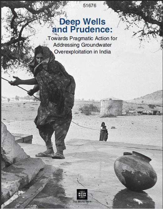
Deep wells and prudence - Towards pragmatic action for addressing groundwater overexploitation in India - A World Bank document (2010)
Posted on 12 Apr, 2011 01:51 AM India is the largest user of groundwater resources in the world. It is estimated that approximately 230 cubic kilometers per year is used annually, this is more than a quarter of the total world consumption from this resource.
It is in this context that this World Bank report looks at the reasons for this quantum of groundwater usage.
The report delves into socio-economic and political reasons and looks at policies which inadvertently promote so much extraction. The report also analyses various attempts to manage this resource. These attempts range from government and international agency efforts directed to grassroots mobilisations. Finally the report comes out with suggestions to deal with this crisis.
Remote sensing and census based assessment and scope for improvement of rice and wheat water productivity in the Indo-Gangetic basin - A working paper by Challenge Program on Water and Food
Posted on 22 Aug, 2010 04:48 PMThis paper by the Challenge Programme for Water and Food (CPWF) presents a simplified approach to combine remote sensing, census and weather data to analyze basin rice and wheat water productivity (WP) in Indo-Gangetic river basin, South Asia. It presents an innovative approach to combine meteorological data, ground survey, national census with remotely sensed imagery to assess water use, yield, and finally crop water productivity for the Indo-Gangetic rice-wheat cropping system in South Asia.
Assessing and improving water productivity in conservation agriculture systems in the Indus-Gangetic basin – A working paper by Challenge Program on Water and Food
Posted on 22 Aug, 2010 02:38 PMThe paper by Challenge Programme on Water and Food (CPWF) attempts to assess and improve water productivity in conservation agriculture systems in the Indus-Gangetic basin, in which during the past 40 years an intricate mosaic of interactions between man & nature, poverty & prosperity and problems & possibilities has emerged. Rapid expansion in agricultural water use is a common theme across these interactions and access to water is central to the livelihoods of the rural poor.
Water, climate change and adaptation: Focus on the Ganges river basin - A working paper by Challenge Program on Water and Food
Posted on 18 Aug, 2010 11:11 PMThis working paper by the Challenge Program for Water and Food explores the intersection between water management, climate change, and adaptation in the Ganges River system, a basin vital to the security, economy, and environment of South Asia.
Recognizing that an understanding of both the science and the policy of water management, climate change, and adaptation is rapidly evolving, it is not the intention of the paper to encompass all the issues related to these broad fields, but rather to provide a starting framework from which to further develop research questions and priorities for work in water and adaptation.
Is irrigation water free? A reality check in the Indo-Gangetic Basin – A working paper by the Challenge Program on Water and Food
Posted on 17 Aug, 2010 09:41 PMThe paper generated under the Challenge Program for Water and Food (CPWF) project explores in some depth a totally different dynamic in the irrigation economy of the vast Indo-Gangetic basin (IGB), an important exception to the global characterization. The global debate on ‘‘water as an economic good’’ presumes that irrigation water supply is delivered, controlled, and priced by public institutions. In the developing world, the price of water is kept so low that water use cost leaves farmers no incentive to use it efficiently.
Indo-Gangetic river basins: Summary situation analysis by Challenge Program on Water and Food
Posted on 16 Aug, 2010 07:37 PMThe paper by the Challenge Programme on Water and Food (CPWF) - Basin Focal Project provides a brief situation analysis related to water, agriculture & poverty, water resources, water productivity, institutional aspects and opportunities & risks related to the development of the Indo-Gangetic basin (IGB). Management of IGB water resources presents some formidable challenges and, therefore, steps must be taken towards integrated management of the IGB’s water and land resources in order to ensure the future sustainability of all production and ecosystems in the basin.
Simple water use accounting of Ganges basin - A working paper by Challenge Program on Water and Food
Posted on 16 Aug, 2010 05:50 PMThis paper deals with basin water use accounting and is a contribution to the synthesis work of the CGIAR Challenge Program on Water and Food (CPWF) Basin Focal Projects. It applies principles of water use accounts, developed in the first of the series to the Ganges river basin in South Asia. It provides a means to assess the interactions between water, food, poverty, and the environment and helps develop sound information about water availability in a basin, where it goes and how it is used.
Optimal operation of groundwater skimming wells A study of 90 wells along the river Yamuna at Palla,North Delhi
Posted on 02 Jul, 2010 04:49 PMAbstract
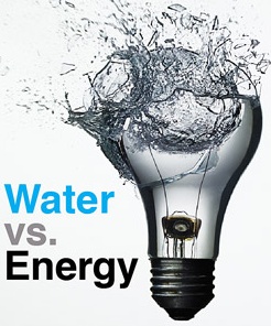
Water vs energy - IEEE Spectrum magazine special report
Posted on 30 Jun, 2010 02:54 AM The IEEE Spectrum magazine, the flagship publication of the IEEE, the world's largest professional technology association, recently brought out a special report on Water vs Energy. The report contains three main sections - Thirsty Machines (Water, Energy and Industry), Uneasy Harvest (Water, Energy and Agriculture) and Tiny Test Beds (potential solutions).
The Uneasy Harvest section contains a special report - "Pumping Punjab Dry", on the depleting groundwater situation in Punjab, and how cheap energy is endangering India's food security.
"Where Water meets Watts", is a map of Water and Energy hot spots and bright spots.